Inside one contractor’s fully digital, vehicle-based bulk earthworks program
Customer Profile: ACCIONA is a global leader in sustainable infrastructure and renewable energy solutions. ACCIONA worked in partnership with CPB Contractors as a joint venture partner to deliver the Western Sydney Airport Bulk Earthworks Project.
Business Challenge: Maintain high earthwork production while meeting lot closure quality conformance targets.
Solutions:
- Trimble Earthworks Grade Control Platform
- Trimble GCS900 Grade Control System
- Trimble CCS900 Compaction Control System
- Trimble Siteworks Positioning System
- Trimble WorksManager Software
- Trimble WorksOS Software
Benefits:
- Real-time jobsite connectivity for operators
- Surface conformance assurance
- Owner transparency
- Instant level, grade and material thickness measurements
- Material thickness conformance
- Streamlined workflow from infield work measurements to conformance checking
The value of jobsite connectivity in construction workflows is a hot topic in the industry, with the cloud, IoT and even digital twins holding the spotlight in the ever-evolving, data-enabled environment. It’s an environment that sparked one of the world’s leading development and construction companies to deploy one of the industry’s first near-real-time, continuous loop office-to-machine data workflow on one of Australia’s most high-profile projects.
The multi-billion-dollar Western Sydney Airport project, under development by the federal government-owned Western Sydney Airport (WSA), entails the construction of a new international airport on the western side of Sydney, Australia. It’s up to the joint venture of CPB Contractors and ACCIONA Australia, to move, fill and compact about 24 million cubic metres of earth to a set of tight specifications in a relatively short amount of time. Beyond the large scope of work, the site includes some complex soil challenges, as it sits on top of the Bringelly Formation, an ancient river delta system. Consequently, the material can be highly variable and reactive in some areas, and post construction settlement is a considerable risk.
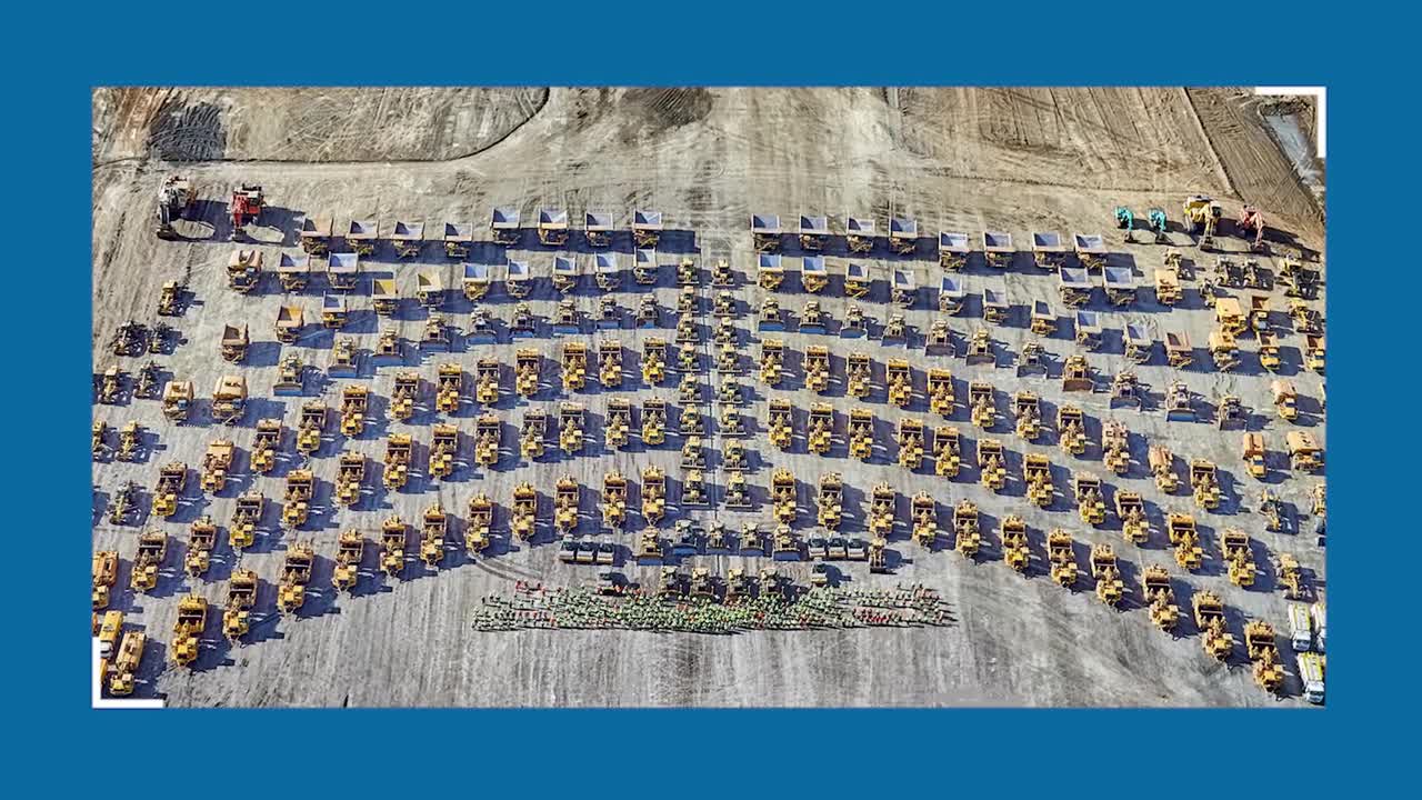
For surveyors and equipment operators, the earthwork undertaking was a potentially chaotic data management challenge that could have resulted in potentially missed, misplaced or inaccurate data and delays for approvals over the course of earthwork activities. At any given moment, for example, there might be over 270 pieces of earthmoving equipment in action on the job.
Daniel Ripley, ACCIONA’s Australia’s Central Region Survey Manager for Construction in Australia, said, “We needed to be able to send updated models to the field crews multiple times a day—I didn’t think it was achievable, but our tech partners assured me it would work.”
“The joint venture team had a plan to place material more efficiently and then report on that material placement,” said Nicholas Pryke, manager of sales mining, aggregates and landfill with SITECH Solutions Pty Ltd and full-time technical advisor to the joint venture team on the Western Sydney project. “Our job was to find the technology-enabled, connected solution that could operate within the constraints of the plan and across a blended fleet to meet stringent specifications.”
The Specs: Trace, Test, Quantify
Early on, the design team defined very clear specifications for density, moisture content, layer thickness and material traceability, from source to placement, to meet the critical end deliverable criteria.
Prior to work commencing, the airport site was broken up into lots or work areas. These lots vary in size, depending on the day’s work and can be extensive, some up to multiple football fields in size. Per the specs, the boundaries, thickness and volume of each lot had to be recorded and reported. The thickness of placed earthworks material was not to exceed 350mm—and the specification further required the lot thickness to be validated every 800 square metres. The locations of field density and moisture content tests also had to be recorded to an accuracy of +/- 1.0 metre.
For the joint venture contracting team, these specs posed a considerable challenge. In the past, the project team would have used conventional methods for tracking and sharing material movement, namely spreadsheets and USB sticks. That methodology simply wasn’t going to work on a project of this size and with the need to share multiple design changes a day to ensure proper layer thickness and optimal material placement.
“The process allowed us to filter and interpret data, create a boundary, process, and finally send the exported information to a conformance program to verify compliance with design, all with machine control, removing staff from site and download data directly from machines,” Ripley said.
They also needed to make sure that everyone in the field—whether foreman, geotechnical testers, surveyors or operators—always had the most up-to-date models and the ability to verify earthwork conformance to specified layer thicknesses. The surveyors needed a speedy way to constantly track material moved and rolled, and then compare as-built surfaces to the base layer thickness in near real-time.
Another big concern was safety. With hundreds of machines operating in the area, the joint venture team didn’t want survey or geotechnical testing staff walking around onsite taking measurements and samples.
In response, the joint venture team, working with SITECH Solutions Pty Ltd and Trimble, developed a cloud-based survey, compaction, testing and conformance workflow.
The Tech: Mobile Emphasis
As a first step to creating the workflow in compliance with design specifications, the joint venture team equipped around 30 utility vehicles and pickup trucks as mobile offices for superintendents, foremen, leading hand and the GITA geotechnical personnel. The vehicles include Trimble SPS986 Rovers with dash mounted tablets running Trimble Siteworks SE Software. They were also given full access to Microsoft 365 for emails, SharePoint drives, video conferencing meetings and more, as well as 3D models—all while in the field, eliminating the need for a laptop. In addition, superintendents were equipped with Trimble positioning technology, allowing them to check grades and levels, anytime.
For material tracing, the site vehicles were equipped with on board diagnostic devices (OBD) to report plant ID, GPS location and travel speed. Geofences can be established and defined as fills, cuts or break areas. User defined logic can be programmed so that the system uses data from the OBD to define a load, haul or dump event, and capture cycle times,
haul/excavating plant productivity or similar data.
To minimize the need for surveyors to walk the site, the project team fitted most compaction equipment with GNSS-enabled machine control systems. For instance, Trimble GCS900 cab mounted systems were fitted to drum compactors, while Trimble CCS900 cab mounted GNSS systems went on all smooth drum rollers and most padfoot rollers to monitor layer thickness and elevation. As well, dual mast GNSS Trimble Earthworks systems were fitted to excavators, while graders and dozers were fitted with single and dual mast GNSS solutions to gather data about the correct level, grade and material thickness. Single mast Trimble GCS900 Universal Total Station (UTS) systems were fitted to CMI trimmers, while single mast GCS900 GNSS systems were put on surface miners. The information from the machines is sent via the cloud to Trimble WorksOS Software, which can be viewed in real time in the machines and on the field supervisor’s tablets in their vehicle.
Dynamic Delivery
The Western Sydney jobsite is a study in operational efficiency. As operators grade, excavate and compact material in the field, the software logs as-built and quality assurance data. That data is transferred to WorksOS in near real-time, where it is processed and displayed.
From their mobile offices, surveyors can then view the data in map and/or dashboard form or filter the data to generate reports about jobsite activity and progress to ensure schedules are met and remotely plan future operations.
Once compacted, sealed and signed off, that conformed surface would be reinserted to the current model. Every time a lot is signed off, a new model is developed.
It’s a very dynamic workflow designed to suit production and weather conditions. SITECH’s Pryke, said, “With WorksManager sending datasets on a regular basis, the entire field team, including the geotechnical testers, foreman, operators and surveyor, sees the same lot surface for a given day.”
The surveyor defines the boundary of the lot in WorksOS, and in the cab, the operators see the current surface model as shared by WorksManager into the machine control system. As the lot materials are moved and compacted, the machine measures the as-built data and then sends the data to WorksOS for processing and analysis. The data can be shared with surveyors to verify conformance to defined elevation and thickness specifications.
The geotechnical testers (ASCT), using WorksOS, are notified at the end of each day which lots are completed so that they can run the required soil tests for density and moisture. Once a lot meets conformance targets, the engineers close the lot and then the survey team recreates the larger surface—and starts the process all over again.
Using WorksOS, everyone on the job is able to see the quality of the work on an interactive map. The data is then exported to be combined with geotechnical data, such as optimum moisture content and density, for final conformance and quality assurance reporting.
“It sounds pretty simple, but remember the data was shared many times a day between surveyors and operators,” Brett Hussey, project survey manager at ACCIONA, said. “At our peak, we had eight surveyors reporting continually as material was placed and graded, and we were doing up to 10 design updates a day. Every single bit of fill material was tracked. We knew every slice of fill down to the size of a tree stump hole. Even those holes had to be filled to a predetermined layer thickness.”
Stake-Free Empowerment
The biggest advantage of the field-to-office-to-field workflow, according to the joint venture team, was that it allowed the foreman and machine operators to know where they could place fill and where they couldn’t, without physical stakes and survey marks, which enabled them to build the site with minimal traditional survey methods. There’s not one peg on the site—thereby improving productivity and safety.
Hussey said, “Without this digital workflow, the entire process would have been very laborious and we would have lost the ability to keep surveyors off the site. We would have had to take a much more hands-on approach. Every material layout is accountable, so the quality of the job was the biggest improvement, as was our ability to maintain high production.”
WorksOS has also provided a logistical advantage while working on the massive airport site. “We used WorksOS to optimise machine routes—a capability that we hadn’t even considered,” he added.
One surprising benefit of the digital workflow was its ability to improve operator satisfaction.
“With WorksOS, we were able to show operators—especially the roller operators—the importance of their work on a daily basis. They’re not out there just moving dirt; they’re producing a product that is seen and reported on every day. They visually see the value of their work,” he explained. “We’ve empowered them and, as a result, the quality of the work has also risen. Our roller operators feel like they are the most important people on the project. That’s powerful.”
Ripley added, “Surveyors were freed up to focus on the reporting side of the project, while foremen and operators were empowered to check on how they are progressing, meeting productivity, and in compliance to specs. The unintended consequences of having these systems on site is fantastic and the way we could pull back to the office every day is so huge.”
The lessons learned on the Western Sydney Airport bulk earthworks project are translating to future projects. Both joint venture partners (CPB and ACCIONA) have made automated compaction workflows a key initiative for future work, and field staff are requesting the equipment and process. It’s a methodology that they believe will set them apart from the competition, creating a better and more uniform infrastructure asset to give to the client at the end of the project.
See the interview with the team here